Transforming vacant land for community benefit
Explore our innovative data-driven approach to prioritizing vacant land redevelopment. We identify key parcels to enhance social equity, accessibility, and overall community well-being, creating spaces that truly serve their neighborhoods.
Data-driven redevelopment for high-impact parcels
This study develops a comprehensive, data-driven framework to identify the 50 highest-impact parcels for vacant land stabilization. We move beyond isolated vacancy management by integrating multiple criteria: social equity, accessibility, and development feasibility. Our goal is to target areas where intervention will generate the greatest community benefit.
This analysis applies a spatial, multi-criteria prioritization framework in R to identify high-impact vacant parcels. Using packages such as sf, dplyr, and spatial functions, the workflow integrates demographic, crime, accessibility, and parcel-level data.

Key factors for impactful intervention


Key steps include:
- Data preparation: Census data (race, population) were filtered to identify block groups with >50% Black population. Crime and amenity datasets (hospitals, free meal sites) were geocoded and converted into spatial objects using st_as_sf().
- Accessibility analysis: A 1-mile buffer was generated around hospitals and meal sites using st_buffer() and merged (st_union()) to define walkable service areas.
- Spatial filtering: High-priority zones were identified by intersecting (st_intersection()) three layers:
- High-crime block groups (top 100),
- Majority-Black neighborhoods,
- Areas with access to essential services.
- Vacant parcel selection: Parcels within these zones were extracted and further evaluated.
- Proximity and clustering metrics:
- Distance to streets calculated using nearest-neighbor functions (st_nn()).
- Distance to schools used as a proxy for youth exposure and pedestrian relevance.
- Parcel clustering measured by counting nearby vacant lots within a defined radius.
- Ranking system: A composite score was generated using normalized variables, with higher weights assigned to:
- Proximity to schools
- Parcel clustering
Lower weights were assigned to parcel size and zoning (development feasibility).
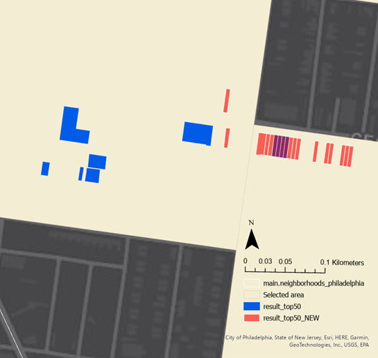
Spatial analysis for systematic prioritization
- The initial model strongly concentrated high-priority vacant parcels in North Central Philadelphia, indicating:
- High levels of disinvestment
- Strong clustering of vacancy
- Overlapping social vulnerability and accessibility needs
- After adjusting the model (reducing clustering and road-distance weighting), results became more spatially distributed across the city, while still highlighting North Central as a critical hotspot.
- Additional neighborhoods such as Tioga also emerged in the revised model, suggesting broader patterns of need beyond a single concentrated area.